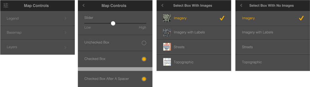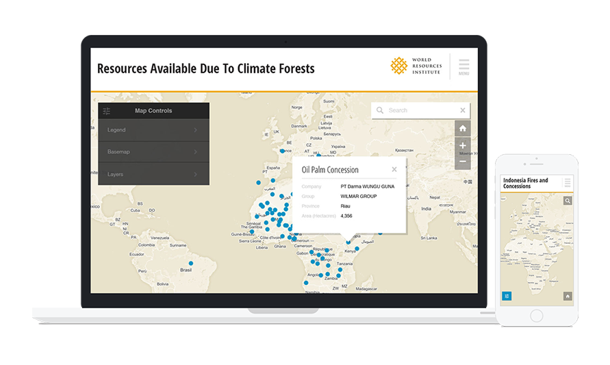
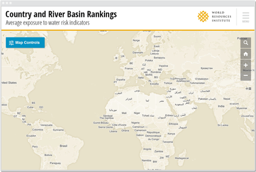
To do this, we built a flexible user interface system that allows users to access a variety of data types on mobile and desktop devices. The platform met an array of interactive needs, while extending WRI’s visual identity.
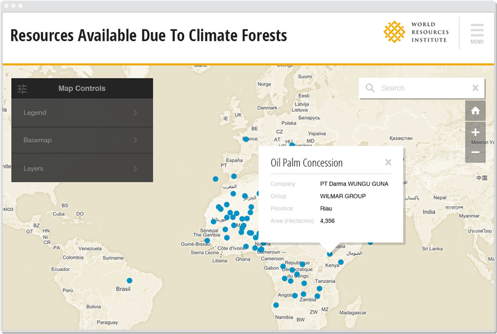
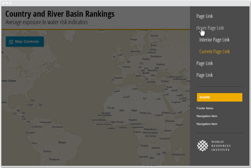
Our accompanying style guide ensured the platform would not only work for existing maps, but also facilitate WRI’s successful implementation of future projects.